
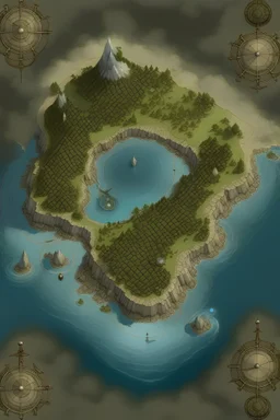
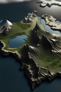
@Ian
Prompt
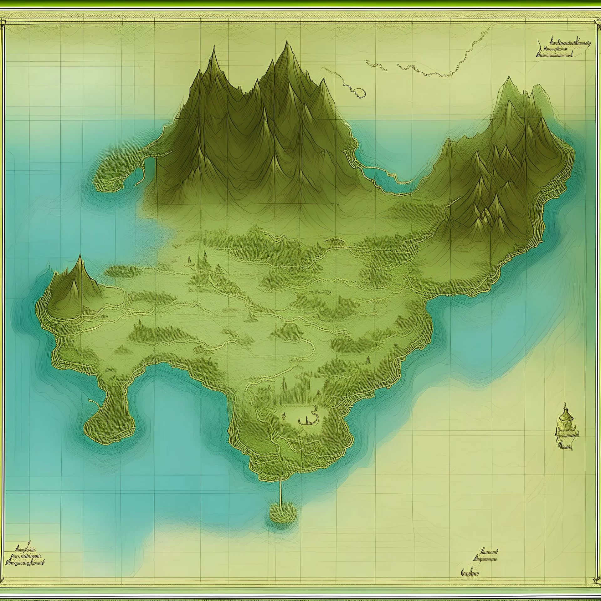
Map elevation, handdrawing, illumination,
2 years ago
Model
Kandinsky 2.2
Guidance Scale
7
Dimensions
4096 × 4096
Similar

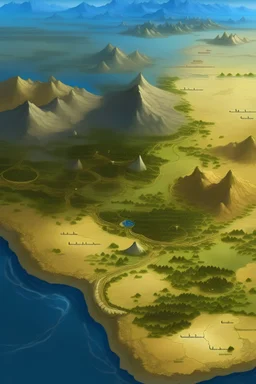
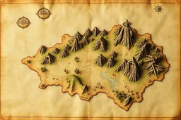
![A fantasy map of a world with [keyword], [atmosphere], color scheme made of [color], rpg world map, game world, aerial view, high detail, split toning, naturalistic proportions --s 100 --v 5.2](https://img.stablecog.com/insecure/256w/aHR0cHM6Ly9iLnN0YWJsZWNvZy5jb20vNTE3ZjQ0YWMtYzQ3OS00OThkLTljZjYtMDdjNDJlY2I3NjVlLmpwZWc.webp)
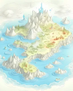
@Ian
Prompt
2 years ago
Model
Kandinsky 2.2
Guidance Scale
7
Dimensions
4096 × 4096
Similar
© 2026 Stablecog, Inc.