
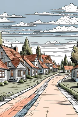
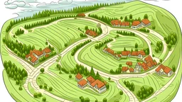
@maida
Prompt
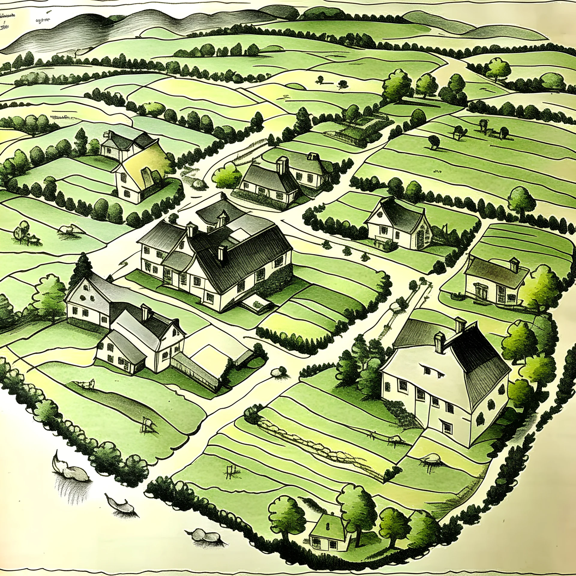
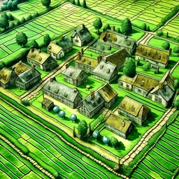
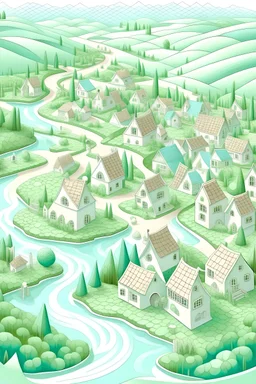
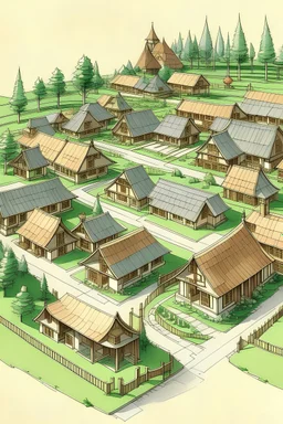
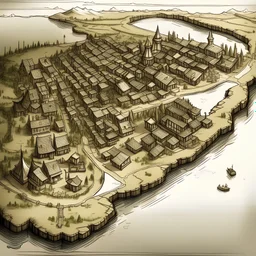
vintage top down map of 18th century New England dairy farm with 2 homes and out buildings connected by roads. cows and sheep
3 years ago
Model
Kandinsky 2.2
Guidance Scale
7
Dimensions
4096 × 4096
Similar
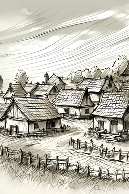
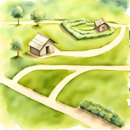
@maida
Prompt
3 years ago
Model
Kandinsky 2.2
Guidance Scale
7
Dimensions
4096 × 4096
Similar
© 2026 Stablecog, Inc.